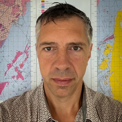
Alain Francés
Investigador Auxiliar at LNEG - Departamento de Geologia, Hidrogeologia e Geologia Costeira
Amadora, Lisbon, Portugal



Summary
👤
Senior🎓
Top SchoolAlain Francés is an investigative hydrogeologist with over a decade of experience in spatio-temporal groundwater recharge and flow modeling, water-balance studies at catchment scale, and hydrogeophysical characterization. Based at LNEG in Portugal, he blends advanced numerical modeling (MODFLOW, PEST) with GIS/geodatabase design and remote-sensing detection of submarine freshwater discharge to inform coastal and catchment-scale groundwater management. Proficient in Python, R and VBA, he couples geostatistics and near-surface geophysics (ERT, FDEM, TDEM, MRS) to build 3D conceptual models and robust monitoring networks. His background includes leading GIS supervision for geological cartography projects in Angola and long-term hydrometeorological monitoring, reflecting both field and computational breadth. Notably, he leverages thermal-band satellite analysis (LANDSAT ETM+) to detect submarine groundwater discharge—a niche integration of remote sensing and hydrogeology that strengthens coastal impact assessments.
 11 years of coding experience
 Bachelor of Science (B.Sc.), Geology, 15/20, Bachelor of Science (B.Sc.), Geology, 15/20 at Faculdade de Ciências da Universidade de Lisboa (FCUL)Bachelor of Science (B.Sc.), Geology, 13/20, Bachelor of Science (B.Sc.), Geology, 13/20 at Université Paul Sabatier (Toulouse III)Doctor of Philosophy (Ph.D.), Hydrogeology, Doctor of Philosophy (Ph.D.), Hydrogeology at Faculty of Geo-Information Science and Earth Observation (ITC) of the University of Twente
 English, French, Portuguese, Spanish
Github contributions (2)

AlainPascalFrances/marmites
Sep 2015 - Jan 2023
Contributions:154 commits, 3 pushes, 1 branch in 7 years 5 months
AlainPascalFrances/MARMITES
Jan 2018 - Oct 2023
Contributions:92 pushes, 1 branch in 5 years 9 months
Find and Hire Top DevelopersWe’ve analyzed the programming source code of over 60 million software developers on GitHub and scored them by 50,000 skills. Sign-up on Prog,AI to search for software developers.