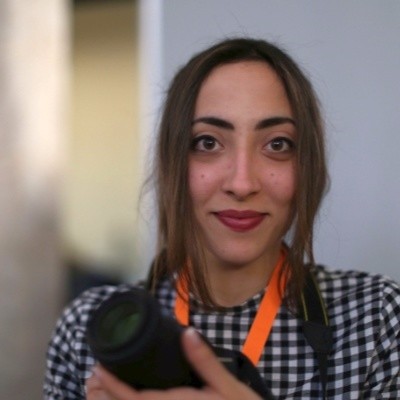
Alexandra Papadaki
Lead Project Manager at GEOSYSTEMS HELLAS S.A.
Athens, Attica, Greece



Summary
👤
Senior🎓
Top SchoolAlexandra Papadaki is a Lead Project Manager and machine learning engineer with 9 years of experience delivering AI-driven geospatial and remote sensing solutions across ESA, EU-funded and industrial projects. She combines hands-on expertise in deep learning (U-Net, SegFormer), large-scale satellite data pipelines and real-time robotics perception with proven program leadership—currently leading Greece’s first ESA InCubed project for a commercial monitoring platform. Her background spans optimization of multimodal sensor software (C++, Qt, Python), building deployable ML pipelines (Docker, CI/CD, ROS) and translating user feedback into technical requirements. She has published at top computer vision venues and consistently turns research prototypes into operational systems for environmental monitoring, maritime safety and urban planning. Notably, she boosted airborne image-matching performance by 96% at Leica Geosystems and led a >94% accurate 6D object detection pipeline for an EU H2020 robotics project. Based in Athens, she blends academic rigor from TU Berlin and NTUA with practical delivery of scalable, user-focused geospatial AI products.
 9 years of coding experience
 4 years of employment as a software developer
 Master of Science (M.Sc.), Geodesy and Geoinformation Science, Master of Science (M.Sc.), Geodesy and Geoinformation Science at Technische Universität BerlinM. Eng. Diploma, Surveying and Geoinformatics Engineering, M. Eng. Diploma, Surveying and Geoinformatics Engineering at National Technical University of AthensHigh School Graduation Diploma, 19.5 (scale of 20), High School Graduation Diploma, 19.5 (scale of 20) at General Senior High School
 Greek, English, German
Github Skills (10)
epos4
pose2
version-control2
object-detection2
computer-vision2
pytorch2
git1
github1
deep-learning1
pose-estimation1
Programming languages (3)
Github contributions (5)
Contributions:33 commits, 28 pushes, 1 branch in 1 day
Contributions:3 pushes, 1 branch in 3 years 7 months
Find and Hire Top DevelopersWe’ve analyzed the programming source code of over 60 million software developers on GitHub and scored them by 50,000 skills. Sign-up on Prog,AI to search for software developers.