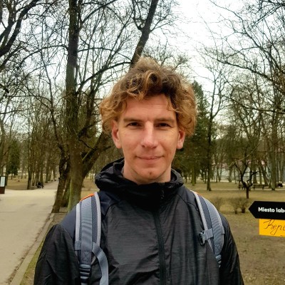
Andžej Miloš
GIS Application Developer
Vilnius, Vilnius County, Lithuania



Summary
👤
Senior🎓
Top SchoolAndžej Miloš is a GIS application developer with a decade of experience building and maintaining web map applications, spatial data services, and GIS analysis tools for international and local clients from his base in Vilnius. With a strong foundation in both informatics (BSc) and GIS (MSc), he blends desktop and server GIS (ArcGIS Desktop/Server, Web AppBuilder, JS API) with Python and .NET tooling to deliver production-ready geospatial solutions. He has run his own GIS/IT business, managed developer teams, and now supports marine-environment mapping at HELCOM, demonstrating both hands-on coding and domain-focused system stewardship. Known for turning complex spatial requirements into clear technical specifications, he also brings practical field experience in data collection and orienteering map production that informs robust, user-centered mapping workflows.
 10 years of coding experience
 6 years of employment as a software developer
 Bachelor's degree, Informatics, Bachelor's degree, Informatics at Vilniaus UniversitetasMaster's degree, Geographic information systems, Master's degree, Geographic information systems at Uniwersytet Jagielloński w Krakowie
 Polish, Lithuanian, English, Russian
Stackoverflow
1reputation
0reached
0answers
0questions

Github Skills (10)
iso2
discovery2
dcat2
metadata2
gis2
ckan2
metadata-management1
geospatial1
data-management1
gemini1
Github contributions (5)
helcomsecretariat/Cumulative-impact-Assessment-Toolbox
Oct 2019 - Jan 2020
Contributions:9 commits, 5 pushes in 3 months
helcomsecretariat/BASEMAPS-admin
Dec 2017 - Jul 2021
Contributions:62 commits, 22 pushes in 3 years 7 months
Find and Hire Top DevelopersWe’ve analyzed the programming source code of over 60 million software developers on GitHub and scored them by 50,000 skills. Sign-up on Prog,AI to search for software developers.