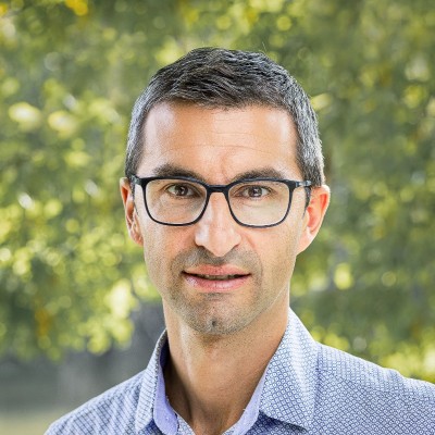
Christian Sailer
Educational Developer D-BAUG
Zurich, Zurich, Switzerland



Summary
👤
Senior🎓
Top SchoolChristian Sailer is an educational developer and geospatial specialist with over a decade of experience bridging academia, industry, and outreach in Zurich. At ETH Zürich he designs and scales teaching and learning approaches for the D-BAUG programs, drawing on a long history at ESRI Schweiz where he led education, engagement, and business development for GIS and 3D spatial analytics. He combines research training (doctoral work in geographic information science and cartography) with practical program building—founding initiatives like GEOSchoolDay and contributing to GEOSummit—to make geospatial skills accessible to students and professionals. Known for turning complex spatial technologies into effective curricula and events, he also has hands-on experience in software development, project management, and public relations within the geospatial community. Colleagues describe him as a connector who pairs rigorous scientific thinking with a knack for outreach and practical implementation.
 10 years of coding experience
 8 years of employment as a software developer
 Master's degree, Geografie und Kartografie, Master's degree, Geografie und Kartografie at Geographisches Institut Universität ZürichMatura C, Matura C at MNG RämibühlDoktorat, Geografische Informationswissenschaft und Kartografie, Doktorat, Geografische Informationswissenschaft und Kartografie at ETH Zürich
 German, English, French, Italian, html5 and javascript, python
Github Skills (4)
der9
esri8
gis6
java6
Programming languages (1)
Github contributions (5)
geometalab/geoschoolday
Dec 2015 - Dec 2019
Contributions:234 commits, 221 pushes, 4 comments in 4 years
diebernvonderhrt
csailer80/html_TESTS
Mar 2021 - Mar 2021
Contributions:2 pushes, 1 branch in 1 day
Find and Hire Top DevelopersWe’ve analyzed the programming source code of over 60 million software developers on GitHub and scored them by 50,000 skills. Sign-up on Prog,AI to search for software developers.