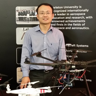
Chui-qing Zeng
Senior R&D Manager at GeologicAI
Old Toronto, Ontario, Canada



Summary
👤
Senior🎓
Top SchoolChui-qing Zeng is a Senior R&D Manager based in Toronto with a decade of experience applying remote sensing, machine learning, and object-detection algorithms to geospatial and environmental problems. He has progressed from postdoctoral research and teaching roles to government science positions and now leads R&D at GeologicAI, combining expertise in optical, LiDAR, and radar sensors with practical UAV/spectrometer platform development. His work includes modeling water quality from satellite imagery and integrating multi-sensor data to extract riverine and urban features, reflecting a strong blend of research rigor and operational impact. An experienced instructor and collaborator, he translates complex algorithms into applied solutions for climate and natural-resource challenges. Outside work he stays active in outdoor sports—basketball, badminton, biking and camping—bringing a team-oriented, field-ready mindset to technical leadership.
 10 years of coding experience
 11 years of employment as a software developer
 Master's degree, Geographic Information Science and Cartography, Master's degree, Geographic Information Science and Cartography at University of Chinese Academy of SciencesDoctor of Philosophy (Ph.D.), Remote sensing (RS), Geographic Information Science (GIS), Doctor of Philosophy (Ph.D.), Remote sensing (RS), Geographic Information Science (GIS) at The University of Western Ontario
 English, Chinese
Github Skills (89)
accessibilityservice9
keyboard-shortcuts9
keymapping9
switch9
keyboard-events9
android-development9
android-app9
android-application8
uinput8
keyboard8
bluetooth8
buttons8
kotlin8
gnome8
smartphone8
Programming languages (6)
Github contributions (5)
chqzeng/OpenWL
Feb 2022 - Jan 2023
Contributions:28 commits, 50 pushes, 5 branches in 11 months
chqzeng/MODISNN
Jan 2022 - Feb 2022
Contributions:17 commits, 28 pushes, 2 branches in 14 days
Find and Hire Top DevelopersWe’ve analyzed the programming source code of over 60 million software developers on GitHub and scored them by 50,000 skills. Sign-up on Prog,AI to search for software developers.