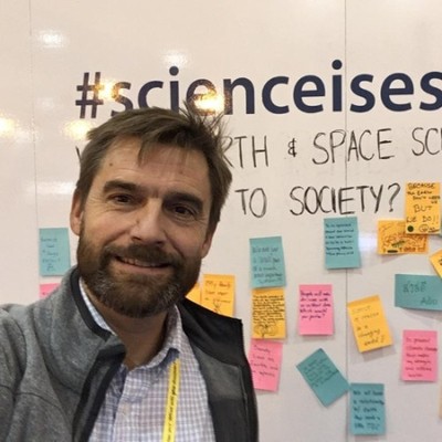
David Neufeld
Grounds Operations
Grand Lake, Colorado, United States



Summary
👤
Senior🎓
Top SchoolDavid Neufeld is a GIS-focused software engineer and instructor with roughly nine years of formal experience and a decades-long track record in geospatial systems, remote sensing, and environmental data engineering. He has led software teams at NOAA/CIRES, founded geoVelocity LLC to deliver GIS consulting for government and non-profits, and teaches GIS at Front Range Community College while also working hands-on in grounds operations in Colorado. His technical toolkit spans Python, Java, Groovy/Grails, XML/XSLT, REST/JSON, NetCDF, OGC standards, Geoportal, and AWS—skills applied to production geospatial services and portals such as land information systems. Comfortable bridging research, operations, and teaching, he combines field-facing perspective with deep standards-based engineering, and his Peace Corps and conservation work hint at a long-standing commitment to environmental stewardship.
 9 years of coding experience
 20 years of employment as a software developer
 Master of Science (MSc), Forestry (GIS & Remote Sensing), Master of Science (MSc), Forestry (GIS & Remote Sensing) at Colorado State UniversityB.A., B.A. at University of Pennsylvania
Github Skills (37)
datasets10
aws10
environmental9
noaa9
discovery9
data-management8
thredds8
search-engine7
ncml7
csb7
iso7
python7
metadata6
geographic5
psi4
Programming languages (6)
Github contributions (5)
cedardevs/csbCrawler2Cloud
Apr 2020 - Jan 2021
A utility to upload CSB data to the cloud, and handle some pre-processing tasks like geographic masks
Contributions:1 review, 8 PRs, 32 pushes in 8 months
pre-processingpythonmaskscsbhandle
dneufeldcu/csbCrawler2Cloud
Sep 2019 - Apr 2020
Contributions:27 pushes, 1 branch in 7 months
Find and Hire Top DevelopersWe’ve analyzed the programming source code of over 60 million software developers on GitHub and scored them by 50,000 skills. Sign-up on Prog,AI to search for software developers.