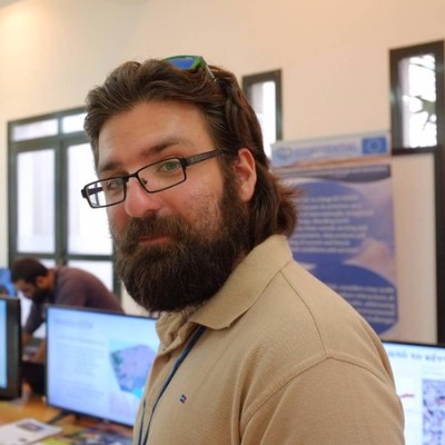
David Parastatidis
Senior GIS Analyst at Foundation for Research and Technology - Hellas (FORTH)
Heraklion, Region of Crete, Greece



Summary
🎓
Top SchoolDavid Parastatidis is a Senior GIS Analyst with eight years of hands-on experience in remote sensing, Python-driven GIS development, and cloud-based geospatial analysis. Based in Heraklion, Crete, he has progressed through roles at FORTH’s Remote Sensing Laboratory from intern to senior analyst while contributing to European projects with Airbus and the European Commission that applied high-resolution satellite imagery and open datasets to environmental and disaster-risk problems. He specializes in Google Earth Engine, DIAS and TEP workflows, building scalable analyses that integrate satellite collections, on-site observations and web services. Comfortable bridging research and operational delivery, he combines academic computer science training with practical expertise deploying GIS solutions on cloud platforms for sustainability and nature-based solutions. An often-overlooked strength is his track record of translating complex remote-sensing indicators into actionable variables for policy-relevant initiatives.
 7 years of coding experience
 1 year of employment as a software developer
 Bachelor's degree, Computer Science, Bachelor's degree, Computer Science at University of Crete
 Greek, English, German
Github Skills (8)
derived9
geoserver8
software-design8
permission7
gis7
gdal6
geospatial6
python6
Github contributions (3)
DavidParastatidis/EOValue-Urban-NBS-monitoring-application
Feb 2020 - Mar 2020
Contributions:8 pushes, 1 branch in 1 day
DavidParastatidis/Pokemon_battle
Oct 2023 - Oct 2023
Contributions:5 pushes, 1 branch in 1 day
Find and Hire Top DevelopersWe’ve analyzed the programming source code of over 60 million software developers on GitHub and scored them by 50,000 skills. Sign-up on Prog,AI to search for software developers.