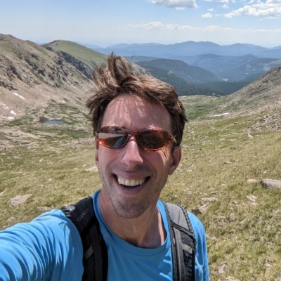
Erik Martin
Spatial Analyst Developer
Portland, Maine, United States



Summary
👤
Senior🎓
Top SchoolErik Martin is a Spatial Analyst Developer with 10 years of experience applying GIS, web mapping, and spatial analysis to conservation and environmental projects from Maine to Gabon. At The Nature Conservancy he builds production web tools (Vue.js, Mapbox GL, Node.js, ArcGIS Server) that translate complex ecological models—resilience, aquatic connectivity, fish passage prioritization—into actionable maps and decision-support services. His background combines rigorous GIS methods (least-cost surfaces, barrier prioritization, hydropower scenario analysis) with strong cartographic communication and project leadership across multi-stakeholder initiatives. Erik’s work uniquely bridges field-scale problem solving (culvert and dam assessments) with scalable web deployment of geoprocessing services. Trained with an MS in GIS and a BA in Human Ecology, he pairs technical depth with ecological context to deliver tools that guide conservation planning.
 10 years of coding experience
 8 years of employment as a software developer
 Master of GIS, Gepographic Information Systems, Master of GIS, Gepographic Information Systems at Penn State UniversityBA, Human Ecology, BA, Human Ecology at College of the Atlantic
 Spanish, French
Github Skills (8)
region4
ord3
vulnerability2
endpoint-security2
wms1
wps1
build-script1
barrier1
Programming languages (5)
Github contributions (5)
FreshwaterNetwork/northeast-region
Aug 2016 - Jun 2019
Contributions:23 PRs, 47 pushes, 1 branch in 2 years 10 months
FreshwaterNetwork/chesapeake-region
Sep 2017 - Nov 2021
Natural Solutions Toolkit region for the Chesapeake Bay watershed
Contributions:18 PRs, 47 pushes, 3 branches in 4 years 3 months
watershedbayregionnatural
Find and Hire Top DevelopersWe’ve analyzed the programming source code of over 60 million software developers on GitHub and scored them by 50,000 skills. Sign-up on Prog,AI to search for software developers.