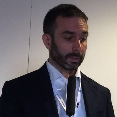
Francesco Pirotti
Ass. Professor at University of Padova
Legnaro, Veneto, Italy



Summary
👤
Senior🎓
Top SchoolFrancesco Pirotti is an Assistant Professor at the University of Padova with nine years of focused R&D experience in geomatics, remote sensing, and WebGIS applied to environmental analysis. He combines a Ph.D. in Remote Sensing with hands-on software development (C/C++, PHP) to build advanced processing tools, WebGIS platforms, and big-data workflows for optical and LiDAR data. His work spans from statistical geospatial analysis to operational data representation, bridging academic research and practical environmental resource applications. A visiting stint at UC Berkeley and collaborations with labs at NASA and Google reflect his international research footprint and ability to translate methods across institutions. Known for “making things work,” he pairs rigorous scientific training with pragmatic engineering to deliver usable Earth observation solutions.
 9 years of coding experience
 Doctor of Philosophy (Ph.D.), Remote Sensing for Environmental Applications, Doctor of Philosophy (Ph.D.), Remote Sensing for Environmental Applications at Università degli Studi di PadovaVisiting Graduate Student - Environmental Science Policy and Management Department (ESPM), Photogrammetry, Remote Sensing, Spatial analysis, Visiting Graduate Student - Environmental Science Policy and Management Department (ESPM), Photogrammetry, Remote Sensing, Spatial analysis at University of California, Berkeley
 English, Italian
Github Skills (86)
wps10
spatial10
openstreetmap10
qgis10
tms10
system-information10
gis10
ogc9
shapefile9
data-management9
gdal9
geotools9
potree9
geographical-information-system9
wcs9
Programming languages (8)
Github contributions (5)
fpirotti/lasPhotoCamSIM
Sep 2021 - Dec 2023
Contributions:1 release, 79 pushes, 2 branches in 2 years 3 months
fpirotti/chmAreaBosco
Jun 2023 - Dec 2024
Contributions:3 releases, 39 pushes, 5 branches in 1 year 5 months
Find and Hire Top DevelopersWe’ve analyzed the programming source code of over 60 million software developers on GitHub and scored them by 50,000 skills. Sign-up on Prog,AI to search for software developers.