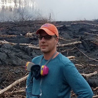
Frank Engel
Geographer (EDGE) at U.S. Geological Survey (USGS)
San Antonio, Texas, United States



Summary
👤
Senior🎓
Top SchoolFrank Engel is a research geographer at the U.S. Geological Survey with 11 years of experience applying remote sensing, geospatial analysis, and hydrology to real-world environmental problems. Holding a PhD from the University of Illinois and degrees from Texas State, he has progressed through technical roles at USGS into an EDGE geographer position, blending rigorous research with operational tool development. He builds practical apps and tooling that translate satellite and sensor data into actionable insights for water and land resource management. Based in San Antonio, he pairs academic depth with government-driven impact, often bridging methodological innovation and reproducible workflows. A quieter strength is his focus on delivering end-to-end solutions—from algorithms to deployable apps—so scientific results are usable by managers and stakeholders.
 11 years of coding experience
 Master of Science - MS, Geography, Master of Science - MS, Geography at Texas State UniversityDoctor of Philosophy - PhD, Geography, Doctor of Philosophy - PhD, Geography at University of Illinois Urbana-Champaign
Github Skills (14)
velocity10
toolbox10
rotation5
image-processing4
python4
translation4
image-stitching3
matplotlib3
opencv2
web-application2
plotly1
plotly-dash1
image-segmentation1
segmentation1
Programming languages (5)
Github contributions (5)
frank-engel-usgs/VMTProjectShipTrackGUI
Dec 2019 - Feb 2022
Contributions:1 release, 1 push, 1 tag in 2 years 2 months
frank-engel-usgs/VMT
Jul 2014 - Oct 2018
The Velocity Mapping Toolbox
Contributions:151 commits, 57 pushes, 16 branches in 4 years 4 months
toolboxvelocitymapping
Find and Hire Top DevelopersWe’ve analyzed the programming source code of over 60 million software developers on GitHub and scored them by 50,000 skills. Sign-up on Prog,AI to search for software developers.