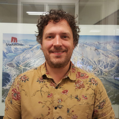
Jamie Drisdelle
Geospatial Systems Developer
San Francisco Bay Area United States



Summary
👤
Senior🎓
Top SchoolJamie Drisdelle is a Geospatial Systems Developer with nine years of hands-on experience across GIS, remote sensing, LiDAR, cartography, and geodatabase management, currently based in the San Francisco Bay Area. Having moved from engineering and support roles at Esri into product management at Leica Geosystems and now back to geospatial development, Jamie blends deep technical expertise (point cloud processing, mission planning, calibration, spatial and 3D analysis) with product and UX design for ArcGIS Pro. He has led imagery and Python raster-function work at Esri, driven feature roadmaps and go-to-market assets at Leica, and continues to influence UX for enterprise desktop GIS. Jamie’s background in flood-risk LiDAR projects and his fluency across server, database, and client-side GIS tooling give him a rare cross-disciplinary perspective that bridges field data acquisition to polished user experiences.
 9 years of coding experience
 12 years of employment as a software developer
 Bachelor of Science (BSc) Environmental Studies, Bachelor of Science (BSc) Environmental Studies at Saint Mary's UniversityAssociate's degree Geographic Information Science and Cartography, Associate's degree Geographic Information Science and Cartography at Centre of Geographic SciencesAdvanced Diploma GIS/Remote sensing, Advanced Diploma GIS/Remote sensing at Centre of Georaphic Science
 English, French
Github Skills (16)
arcgis10
on-the-fly10
spatial-analysis10
raster10
image-processing9
python9
gis9
converting4
imagery4
image3
cloud-storage2
tiled2
data-management2
azure2
storage2
Programming languages (2)
Github contributions (2)
Esri/raster-functions
Aug 2016 - Oct 2018
A curated set of lightweight but powerful tools for on-the-fly image processing and raster analysis in ArcGIS.
Contributions:1 release, 31 commits, 12 PRs in 2 years 3 months
raster-analysispythonspatial-analysisarcgisraster
Esri/OptimizeRasters
Nov 2018 - Nov 2018
OptimizeRasters is a set of tools for converting raster data to optimized Tiled TIF or MRF files, moving data to cloud storage, and creating Raster Proxies.
Contributions:1 comment in 1 day
arcgispythonrastertiledmrf
Find and Hire Top DevelopersWe’ve analyzed the programming source code of over 60 million software developers on GitHub and scored them by 50,000 skills. Sign-up on Prog,AI to search for software developers.