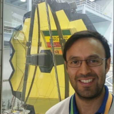
Javier Concha
Ocean Data Exploitation Specialist
Rome, Lazio, Italy



Summary
👤
Senior🎓
Top SchoolJavier Concha is an ocean data exploitation specialist with 13 years of experience applying imaging science and remote sensing to challenging, optically complex waters using sensors from Landsat-8 to Sentinel-3 and GOCI. He combines hands-on algorithm development and atmospheric correction expertise from his Ph.D. work with operational experience integrating Sentinel full-resolution streams into CMEMS and supporting ESA project management at ESRIN. His research focuses on rigorous calibration and validation, including vicarious calibration and novel use of autonomous multispectral and hyperspectral in situ sensors, and he quantitatively studies how validation protocols affect reported statistics. Having worked at NASA Goddard, CNR and now Serco/ESA, he blends academic rigor with practical implementation across international consortia such as HYPERNETS. Notably, he bridges high-resolution inland-water methods with coastal and satellite-scale exploitation, making him adept at translating detailed bio-optical science into operational EO products.
 13 years of coding experience
 11 years of employment as a software developer
 Bachelor of Science (BS), Electronic Engineering, Bachelor of Science (BS), Electronic Engineering at Universidad de ConcepciónPh.D. Candidate, Imaging Science, 3.63, Ph.D. Candidate, Imaging Science, 3.63 at Rochester Institute of TechnologyOcean Optics, Ocean Optics at University of Maine
 Spanish, English, Italian
Stackoverflow
1reputation
0reached
1answer
0questions

Github Skills (19)
que10
ministry9
health8
gtk8
qt7
science7
python7
latitude-longitude6
interpolation6
corona6
matplotlib6
data-science6
data-visualization5
climate-change5
webmap4
Programming languages (5)
Github contributions (5)
javierconcha/retrieval
Mar 2013 - Dec 2015
Contributions:55 commits, 27 pushes in 2 years 9 months
javierconcha/CNR_ISMAR
Apr 2019 - Nov 2021
Contributions:51 pushes, 2 branches in 2 years 8 months
Find and Hire Top DevelopersWe’ve analyzed the programming source code of over 60 million software developers on GitHub and scored them by 50,000 skills. Sign-up on Prog,AI to search for software developers.