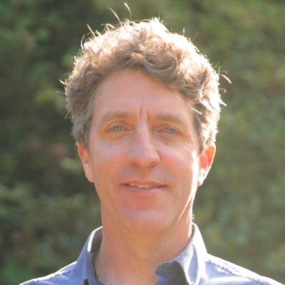
John Gallo
Deputy Director And Lead Consultant at Conservation Biology Institute
Corvallis, Oregon, United States



Summary
👤
Senior🎓
Top SchoolJohn Gallo is a geographer and landscape ecologist with over two decades of applied conservation experience and eight years in senior conservation roles, now serving as Deputy Director and Lead Consultant focused on spatial analyses and wildlife habitat connectivity. He designs and programs conservation planning tools—most notably leading the open-source Linkage Mapper project—and builds spatial decision support systems that translate complex science into actionable strategies for stakeholders and managers. His work blends GIS, Python development, knowledge graphs, and responsible AI to advance habitat connectivity, wildfire resilience, and climate adaptation planning. Skilled at engaging partners and scaling community science, he bridges technical innovation with on-the-ground conservation practice. Based in Corvallis, Oregon, he combines academic depth (PhD in Geography) with long-term NGO leadership, often turning technical code into widely used conservation tools.
 8 years of coding experience
 23 years of employment as a software developer
 Post-Doctoral Research, Post-Doctoral Research at University of Cape TownPh.D. Geography, Ph.D. Geography at UC Santa BarbaraPost-Doctoral Research, Post-Doctoral Research at Nelson Mandela UniversityMendocino High School
 Spanish
Stackoverflow
51reputation
2kreached
0answers
1question

Github Skills (16)
arcgis9
google-docs7
firemonkey6
delphi6
linkage5
javascript4
css4
circuit3
connectivity2
mapper2
toolbox2
ecology2
theory2
simulation1
solve1
Programming languages (4)
Github contributions (5)
LandAdvisor/Prototype-SN
Sep 2020 - Nov 2022
Contributions:7 pushes, 1 branch, 2 comments in 2 years 2 months
LandAdvisor/Prototype-SA
Sep 2020 - Nov 2022
Contributions:6 pushes, 1 branch in 2 years 2 months
Find and Hire Top DevelopersWe’ve analyzed the programming source code of over 60 million software developers on GitHub and scored them by 50,000 skills. Sign-up on Prog,AI to search for software developers.