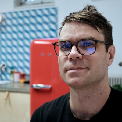
Johnnie Hård
Full-stack Developer at Synvinkel
Stockholm, Sweden



Summary
👤
Senior🎓
Top SchoolJohnnie Hård is a Stockholm-based full-stack developer with 11 years of experience building data-intensive web applications, particularly in geospatial and hydrological domains. He designs and implements end-to-end systems—from TB-scale DEM preprocessing pipelines and high-throughput Node/C++ backends to interactive React frontends with D3 and mapbox-gl—while leveraging PostGIS, vector tiles and Redis for efficient spatial delivery. Comfortable across languages and stacks (Node.js, TypeScript, Python, Rust) and containerized deployments, he’s repeatedly architected solutions that translate complex geospatial analysis into usable tools for government and commercial clients. A collaborative team player, he actively improves processes and state management (XState) to make heavy-data workflows more reliable and user-friendly. His academic background in geomatics gives him uncommon depth in spatial analysis, enabling him to bridge domain science and scalable engineering.
 11 years of coding experience
 4 years of employment as a software developer
 Naturvetenskaplig masterexamen, Geomatik, Naturvetenskaplig masterexamen, Geomatik at Stockholms universitet
Github Skills (167)
geodata10
delaunay-triangulation10
shapefile10
blender10
addon10
openstreetmap9
browser9
nodejs-client9
daisyui9
python9
3d9
geospatial9
postcss9
css9
gis9
Programming languages (18)
Github contributions (5)
johnniehard/drawing_arm
Feb 2015 - Dec 2020
Contributions:6 pushes, 1 branch in 5 years 11 months
iamlukesky/synvinkel
May 2015 - Oct 2016
Contributions:64 pushes, 4 branches in 1 year 5 months
Find and Hire Top DevelopersWe’ve analyzed the programming source code of over 60 million software developers on GitHub and scored them by 50,000 skills. Sign-up on Prog,AI to search for software developers.