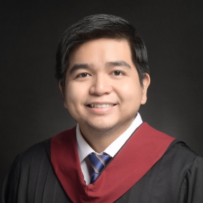
Karlo Tablang
Researcher at UP Training Center for Applied Geodesy and Photogrammetry
Metro Manila, Philippines



Summary
👤
Senior🎓
Top SchoolKarlo Tablang is a licensed geodetic engineer and researcher based in Metro Manila with eight years’ experience applying geomatics, remote sensing, photogrammetry, GIS, and modeling to real-world hazards and surveying problems. His background blends formal training in geodetic engineering and computer science from UP Diliman with hands-on roles—from landslide hazard mapping at the UP Resilience Institute to survey engineering in the private sector and current research in applied geodesy and photogrammetry. He has practical web development and programming experience that complements his domain expertise, enabling him to prototype data-driven tools and automate geospatial workflows. Known for translating complex spatial data into actionable hazard maps and models, he brings a rare mix of field surveying rigor and computational skill to multidisciplinary projects.
 8 years of coding experience
 1 year of employment as a software developer
 BS Geodetic Engineering, BS Geodetic Engineering at University of the Philippines Diliman
Github Skills (27)
obsidian10
hugo9
tailwindcss9
react9
nextjs8
static-site-generator8
garden7
cydia6
jailbreak5
cydiasubstrate5
theos5
patch4
installer4
checker4
compatibility3
Programming languages (8)
Github contributions (5)
gnalbat/khdl
Apr 2020 - Jul 2022
Contributions:1 release, 6 commits, 9 pushes in 2 years 2 months
gnalbat/gamesaves
Aug 2022 - Jan 2025
Contributions:3 pushes, 1 branch in 2 years 5 months
Find and Hire Top DevelopersWe’ve analyzed the programming source code of over 60 million software developers on GitHub and scored them by 50,000 skills. Sign-up on Prog,AI to search for software developers.