Kilian Vos
Senior Earth Observation Developer
Germany



Summary
👤
Senior🎓
Top SchoolKilian Vos is a Senior Earth Observation Developer with 10 years’ experience applying remote sensing, machine learning and full-stack engineering to coastal and water resource problems across academia, government and industry. He holds a PhD from UNSW and an MSc from EPFL, and has led development of production-ready satellite processing pipelines, cloud-deployed workflows and web-GIS services for near-real-time water monitoring and coastal hazard mapping. Kilian is a core contributor to CoastSat, a widely used open-source global shoreline mapping tool, and has benchmarked shoreline algorithms to inform national coastal assessments. Equally comfortable in Python, Google Earth Engine and cloud infrastructure, he combines rigorous research (Scientia PhD scholarship) with hands-on delivery for ESA/EU and public-sector programmes. Notably, his background spans anomaly-detection and RL projects in defence contexts as well as UAV-based geomatics, reflecting a rare mix of signal-processing, ML and operational geospatial engineering.
 10 years of coding experience
 3 years of employment as a software developer
 Master of Science (M.Sc.), Environmental Engineering, 5.5/6, Master of Science (M.Sc.), Environmental Engineering, 5.5/6 at Ecole polytechnique fédérale de LausanneUNSW Sydney
 German, French, Italian, English, Spanish
Github Skills (7)
jupyter-notebook10
machine-learning10
geospatial10
python10
image-processing10
earth-engine9
data-analysis9
Programming languages (5)
Github contributions (5)
kvos/CoastSat
Sep 2018 - Dec 2022
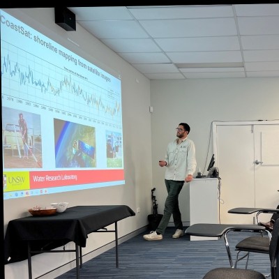
Global shoreline mapping tool from satellite imagery
Role in this project: Back-end Developer & Data Scientist
Back-end Developer & Data ScientistContributions:22 releases, 6 reviews, 291 commits in 4 years 3 months
Contributions summary:Kilian primarily contributed to the development of a shoreline mapping tool, likely involving processing satellite imagery. They worked on core functionalities like downloading, preprocessing, and classifying images. The user also implemented and updated image classification algorithms. Their work appears to encompass both back-end development for image processing and data science tasks.
satellite-imageryshoreline-detectiongeospatialshorelinesatellite-images
kvos/CoastSat.slope
May 2020 - Jan 2022
Contributions:3 releases, 23 commits, 18 pushes in 1 year 8 months
Find and Hire Top DevelopersWe’ve analyzed the programming source code of over 60 million software developers on GitHub and scored them by 50,000 skills. Sign-up on Prog,AI to search for software developers.