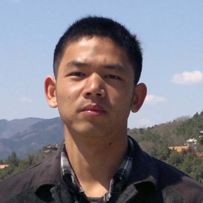
Lang Xia
Assistant at Flybox Inc.
Highland Park, New Jersey, United States



Summary
👤
Senior🎓
Top SchoolLang Xia is a remote sensing software engineer with 10 years’ experience building algorithms and production tools for UAV and hyperspectral imagery, combining C++/GDAL expertise with OpenCV-based image processing. He has developed end-to-end remote sensing pipelines—feature extraction, point cloud generation, stitching—and deployed applications on Linux and AWS while also maintaining e-commerce and ERP systems using PHP/MySQL. At BAAFS he translated agricultural research needs into practical monitoring tools for crops; at Flybox he ensures reliable order processing and web operations, demonstrating versatile full-stack chops. His academic background in remote sensing and land resource management underpins a pragmatic approach to turning complex geospatial theory into operational software.
 10 years of coding experience
 3 years of employment as a software developer
 Bachelor's degree, Land Resource Management, Bachelor's degree, Land Resource Management at Inner Mongolia Agricultural UniversityMaster's degree, Remote Sensing of Agricultural, Master's degree, Remote Sensing of Agricultural at Chinese Academy of Agricultural Science
Github Skills (70)
opencv10
image-processing10
balloon10
neural-rendering10
3d-models10
refinement10
computer-vision10
3d-reconstruction10
intrinsics10
photogrammetry10
kite10
point-cloud10
texture10
surface10
structure-from-motion10
Programming languages (4)
Github contributions (5)
xialang2012/Paddy
Jan 2022 - Nov 2022
Contributions:19 commits, 18 pushes, 1 branch in 10 months
xialang2012/AtmCorrection
Jul 2018 - Aug 2018
Contributions:11 commits, 9 pushes, 1 branch in 24 days
Find and Hire Top DevelopersWe’ve analyzed the programming source code of over 60 million software developers on GitHub and scored them by 50,000 skills. Sign-up on Prog,AI to search for software developers.