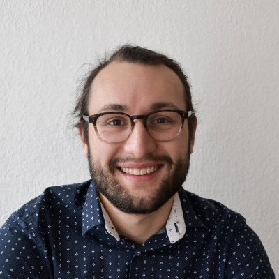
Laurens Oostwegel
PhD Candidate
Berlin, Germany



Summary
🤩
Rockstar🎓
Top SchoolLaurens Oostwegel is a geodata scientist and PhD candidate based in Berlin with nine years of experience applying GIS, BIM and spatial analysis to the built environment. He blends academic training in geomatics, urban geography and architecture with hands-on roles at GFZ, ZAG and Grenoble Alpes to translate geographical data into practical insights that improve people’s lives. Proficient in Python and C#, he focuses on integrating multi-scale spatial data and research-driven workflows across urban and infrastructure contexts. Beyond research, his background includes industry internships and community roles—evidence of an ability to bridge technical, institutional and public-facing perspectives in spatial projects.
 9 years of coding experience
 1 year of employment as a software developer
 Master of Science (Msc), Urban Geography, Master of Science (Msc), Urban Geography at Universiteit UtrechtTU Delft
 Dutch, English
Stackoverflow
1reputation
0reached
0answers
0questions

Github Skills (44)
openscad10
geometry10
ply10
polyhedra10
ifc9
python-bindings9
versioning8
blender8
derived8
satellite-imagery7
imagery7
satellite7
filtering7
las6
cpp6
Programming languages (6)
Github contributions (5)
LaurensJN/IFC
Feb 2021 - Mar 2021
IFC schema management and versioning repository
Contributions:10 commits, 7 pushes, 1 branch in 14 days
ifcschema-managementversioning
LaurensJN/CJ2IFC
Apr 2021 - Apr 2021
Contributions:26 commits, 19 pushes, 1 branch in 9 days
Find and Hire Top DevelopersWe’ve analyzed the programming source code of over 60 million software developers on GitHub and scored them by 50,000 skills. Sign-up on Prog,AI to search for software developers.