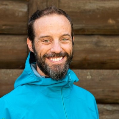
Marco Bernasocchi
CEO at OPENGIS.ch
Laax, Grisons, Switzerland



Summary
🤩
Rockstar🎓
Top SchoolMarco Bernasocchi is an entrepreneur and open-source geospatial engineer with 15+ years of experience, founder and CEO of OPENGIS.ch and the creator of QField for QGIS. He combines hands-on full-stack development—from Android mobile and web UI improvements to core QGIS server features—with leadership roles as QGIS.org Chair and OSGeo board member. His work spans notable projects like Lizmap and QGIS where he contributes both code and technical documentation, reflecting deep expertise in GIS tooling and deployment. Based in a Romansh-speaking Swiss mountain village, he brings a practical geographer’s perspective to software design and a multilingual, community-first approach to mentoring and collaboration.
 15 years of coding experience
 13 years of employment as a software developer
 Master of Science (MSc), Geographic Information Science and Cartography, Master of Science (MSc), Geographic Information Science and Cartography at Universität ZürichBachelor of Science (BSc), Geography, Bachelor of Science (BSc), Geography at Uppsala universitet
 English, Italian, German, French, Spanish, Swedish, romansh
Stackoverflow
823reputation
272kreached
3answers
1question
pandas
top-5%
seaborn
top-5%
matplotlib
top-5%

Github Skills (36)
c-language10
restructuredtext10
qt10
python10
qgis10
geographical-information-system10
rs10
web-content10
wms10
php10
gis10
android10
mobile10
qml10
cprogramming-language10
Programming languages (19)
Github contributions (5)
opengisch/QField
Apr 2015 - Jan 2023
A simplified touch optimized interface for QGIS
Role in this project: Mobile Developer
Mobile DeveloperContributions:27 releases, 23 reviews, 216 commits in 7 years 10 months
Contributions summary:Marco primarily focused on building and maintaining the QField application, evident by the frequent modifications in project configuration files, UI elements, and platform-specific code. They contributed to the Android build process, including updates to the manifest, dependencies, and Gradle configuration, along with enabling features such as drag-and-drop of QGZ files. Furthermore, the user implemented features like getting data from the Java side, and refined the about dialog with new links and layout improvements.
qmlwindowslinuxtouchandroid
qgis/QGIS
Nov 2010 - Mar 2021
QGIS is a free, open source, cross platform (lin/win/mac) geographical information system (GIS)
Role in this project:Back-end Developer
Back-end DeveloperContributions:209 commits, 53 PRs, 11 pushes in 10 years 6 months
Contributions summary:Marco primarily contributed to the back-end functionality of the QGIS project, focusing on improving the server-side behavior and settings. They implemented features related to server configuration, including setting maximum width and height parameters for WMS requests, which involved changes in the server settings and WMS rendering code. The user also addressed bug fixes and made improvements to API documentation and error handling within the core libraries.
spatiallinwmsgeotoolsgis
Find and Hire Top DevelopersWe’ve analyzed the programming source code of over 60 million software developers on GitHub and scored them by 50,000 skills. Sign-up on Prog,AI to search for software developers.