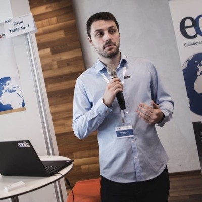
Nikola Jankovic
Senior Geospatial Engineer
Vienna, Austria



Summary
👤
Senior🎓
Top SchoolNikola Jankovic is a Senior Geospatial Engineer with 11 years of experience building Earth observation data pipelines, backend services, and production deployments on Kubernetes from Vienna, Austria. He specializes in connecting standardized EO systems, transforming large geospatial datasets with Python and OGC tools, and operationalizing them via DataOps/DevOps practices for clients including ESA and national agencies. His career spans applied research and teaching in geodesy and geomatics, giving him a strong foundation in spatial algorithms and quality-aware data workflows. At EOX he moved from hands-on ETL and service configuration to senior engineering, routinely integrating open-source components like GeoServer, pycsw and Open Data Cube into scalable platforms. Pragmatic and research-minded, he often bridges academic rigor with production constraints to deliver reliable, standards-compliant geospatial solutions.
 10 years of coding experience
 7 years of employment as a software developer
 Vienna University of TechnologyMaster’s Degree, Geodesy and Geomatics, Master’s Degree, Geodesy and Geomatics at Faculty of Technical Sciences, University of Novi SadHigh School, Geodetic technician, High School, Geodetic technician at Secondary Construction and Technical School Neimar, Nis
 English, Serbian, German
Github Skills (113)
gdal10
cpp10
mortar10
computer-science10
science10
cli10
raster10
devkit10
typer10
adapter10
satellite-imagery10
gis10
ogc9
django9
shell9
Programming languages (11)
Github contributions (5)
jankovicgd/cinziaCV
Dec 2017 - Jan 2023
Contributions:18 pushes, 1 branch in 5 years 1 month
jankovicgd/lsgeolib
Dec 2018 - May 2022
Library for least square adjustment of geodetic networks
Contributions:1 release, 25 commits, 2 PRs in 3 years 6 months
geographyadjustmentgeodeticgeofencegeodesy
Find and Hire Top DevelopersWe’ve analyzed the programming source code of over 60 million software developers on GitHub and scored them by 50,000 skills. Sign-up on Prog,AI to search for software developers.