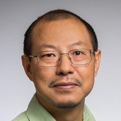
Ningchuan Xiao
Professor at The Ohio State University
Columbus, Ohio, United States



Summary
👤
Senior🎓
Top SchoolNingchuan Xiao is a professor of Geographic Information Science at The Ohio State University with over two decades of academic and research experience focused on spatial optimization, cartography, census analytics, and the intersection of machine learning with spatial data. He develops computational methods for problems such as spatial partitioning, political redistricting, privacy-preserving use of census data, and ethical visualization of complex spatiotemporal datasets. His work uniquely explores how machines “read” maps, blending cartographic theory with AI to improve automated map interpretation and communication to the public. Based in Columbus, Ohio, he combines deep domain expertise from a PhD in Geographic Information Science and Cartography with practical algorithmic contributions in optimization and visualization.
 10 years of coding experience
 13 years of employment as a software developer
 Master of Science - MS, Geographic Information Science and Cartography, Master of Science - MS, Geographic Information Science and Cartography at Southern Illinois University, CarbondaleMaster of Science - MS, Geography, Master of Science - MS, Geography at Peking UniversityBachelor of Science - BS, Geography, Bachelor of Science - BS, Geography at Hunan Normal UniversityDoctor of Philosophy - PhD, Geographic Information Science and Cartography, Doctor of Philosophy - PhD, Geographic Information Science and Cartography at University of Iowa
Github Skills (7)
spatial9
spatial-interpolation8
indexing8
atom-plugin6
interpolation4
mermaid3
markdown2
Programming languages (2)
Github contributions (5)
gisalgs/contrib
May 2019 - Aug 2024
Contributions:2 pushes in 5 years 4 months
compgeog/cgl
Oct 2017 - Dec 2021
Contributions:20 commits, 29 pushes, 1 branch in 4 years 2 months
Find and Hire Top DevelopersWe’ve analyzed the programming source code of over 60 million software developers on GitHub and scored them by 50,000 skills. Sign-up on Prog,AI to search for software developers.