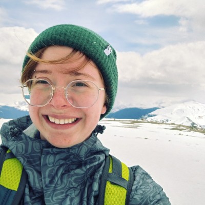
Oliver James
Assistant at University of Victoria Libraries - Digital Scholarship Commons
Victoria, British Columbia, Canada



Summary
👤
Senior🎓
Top SchoolOliver James is a fourth-year Geography student at the University of Victoria specializing in geomatics, with eight years of hands-on experience applying GIS to real-world planning and outreach. He builds accessible, engaging GIS and digital skills workshops at UVic's Digital Scholarship Commons and has operational experience with 3D printers and laser cutters. Oliver translated ArcGIS Pro data into decision-ready tools for the BC Ministry of Transportation—including an ExperienceBuilder interface and StoryMap—and trained staff to maintain the system. Active in satellite design and student leadership, he blends technical mapping skills with communications, grant support, and event coordination. Curious about the intersections of art, tech, and education, he focuses on making spatial technologies both useful and inviting for diverse audiences.
 8 years of coding experience
 Bachelor of Arts - BA, Geography, Bachelor of Arts - BA, Geography at University of Victoria
Github Skills (7)
jekyll5
typescript4
nextjs4
gatsby3
gatsbyjs3
geopackage2
test-suite2
Programming languages (6)
Github contributions (5)
RorySmith2475/CSC468-group3
Jan 2021 - Apr 2021
Group project for CSC468
Contributions:19 PRs, 173 pushes, 9 branches in 2 months
janhavidudhat/CSC468-group3
Jan 2021 - Apr 2021
Group project for CSC468
Contributions:202 commits in 2 months
Find and Hire Top DevelopersWe’ve analyzed the programming source code of over 60 million software developers on GitHub and scored them by 50,000 skills. Sign-up on Prog,AI to search for software developers.