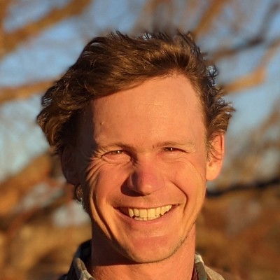
Pete Gadomski
Geospatial Engineer
Longmont, Colorado, United States



Summary
🤩
Rockstar🎓
Top SchoolPete Gadomski is a geospatial engineer with 16 years of experience building tools and workflows for remote sensing, lidar, and point-cloud processing, now contributing to Development Seed from Longmont, Colorado. He blends research-grade scientific rigor (MS in Geosensing Systems) with production software practice, having led aerospace and geospatial teams at Element 84 and delivered measurement algorithms at NSIDC and CRREL. Pete is an active open-source contributor—his work on PDAL (point-cloud GDAL) and legacy Homebrew shows deep backend expertise in bindings, readers/writers, and dependency management that improve reproducibility for the community. He has a track record of translating complex sensor data (ALOS DEMs, MODIS NDVI) into accessible examples and visualizations for planetary-scale workflows. Equally comfortable in test engineering for aerospace hardware and in writing bindings for C#/Python, he brings a rare mix of domain science, software engineering, and hands-on systems validation. Colleagues rely on him to bridge research problems and operational geospatial software at scale.
 16 years of coding experience
 15 years of employment as a software developer
 Master's degree, Geosensing Systems Engineering and Sciences, Master's degree, Geosensing Systems Engineering and Sciences at University of HoustonBachelor of Arts - BA, Engineering, Earth Sciences, Bachelor of Arts - BA, Engineering, Earth Sciences at Dartmouth College
Stackoverflow
243reputation
10kreached
5answers
0questions

Github Skills (28)
dependency-management10
formula10
c-language10
python10
package-management10
xray10
cmake10
geospatial10
spatial-data10
ruby10
geo10
formulas10
xa10
spatial10
cprogramming-language10
Programming languages (19)
Github contributions (5)
PDAL/PDAL
Mar 2011 - Aug 2022
PDAL is Point Data Abstraction Library. GDAL for point cloud data.
Role in this project: Back-end Developer
Back-end DeveloperContributions:272 commits, 106 PRs, 59 pushes in 11 years 7 months
Contributions summary:Pete primarily contributed to the development of the PDAL library by adding and modifying code for specific features and functionalities. Their work included implementing SWIG bindings for C# and Python, fixing initialization errors in the bounds calculation, modifying the OCI writer and the text and sbet readers and writers. The user also addressed code style and merged branches to improve the overall project.
point-cloudabstraction-librarypointgdaldata-abstraction
microsoft/PlanetaryComputerExamples
Sep 2021 - Jan 2023
Examples of using the Planetary Computer
Role in this project:Data Scientist
Data ScientistContributions:3 reviews, 8 commits, 13 PRs in 1 year 3 months
Contributions summary:Pete implemented an example using ALOS Digital Elevation Models (DEMs) with the Planetary Computer STAC API, demonstrating data retrieval and visualization. This included using `pystac_client` to access the STAC API, identifying assets, and plotting elevation data using `xarray`. The user also added and demonstrated an example for MODIS vegetation data from the Planetary Computer STAC API, showcasing the retrieval and plotting of NDVI data. These contributions suggest a focus on data acquisition, processing, and visualization using geospatial datasets.
planetary-computerpythonplanetaryaiforearth
Find and Hire Top DevelopersWe’ve analyzed the programming source code of over 60 million software developers on GitHub and scored them by 50,000 skills. Sign-up on Prog,AI to search for software developers.