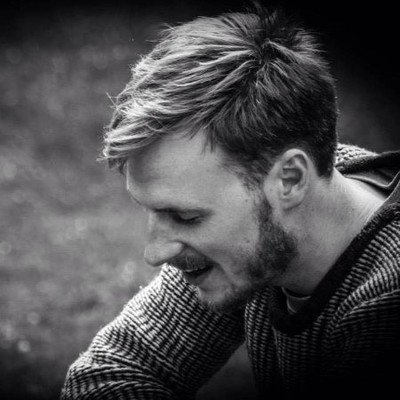
Rasmus Fenger-nielsen
Specialist at Miljøstyrelsen
Copenhagen, Capital Region of Denmark



Summary
👤
Senior🎓
Top SchoolRasmus Fenger-nielsen is a specialist in remote sensing and geoinformatics with over a decade of experience turning satellite and UAV/drone data into actionable insights for environmental monitoring, agriculture, coastal and cultural-heritage preservation, and climate-impact assessments. Holding an MSc and PhD in geography, he bridges interdisciplinary science and technical delivery—writing code (Python), developing R&D solutions, and leading field-to-landscape upscaling from multispectral UAV and satellite imagery. He has worked across academia, government, and consulting—currently at Miljøstyrelsen—bringing both research rigour and client-facing business development experience. Known for combining big-picture problem framing with hands-on data analysis and modelling, he also maintains a strong professional network in the geo-spatial community and a track record of practical applications in Greenland and Denmark.
 10 years of coding experience
 Master's Degree, Geography & Geoinformatics, Master's Degree, Geography & Geoinformatics at University of CopenhagenInternational student, Geography, International student, Geography at James Cook UniversityBachelor's Degree, Geography & Geoinformatics, Bachelor's Degree, Geography & Geoinformatics at Københavns Universitet
Github Skills (9)
qgis-processing9
sentinel7
modis6
atmosphere5
algorithms5
qgis3
raster2
python2
installer1
Programming languages (1)
Github contributions (5)
rasmusfenger/fieldsamples
Mar 2017 - Mar 2018
Contributions:16 pushes, 2 branches, 3 issues in 1 year
rasmusfenger/vandmiljoe-portal
Mar 2026 - Apr 2026
Contributions:67 pushes, 3 branches in 28 days
Find and Hire Top DevelopersWe’ve analyzed the programming source code of over 60 million software developers on GitHub and scored them by 50,000 skills. Sign-up on Prog,AI to search for software developers.