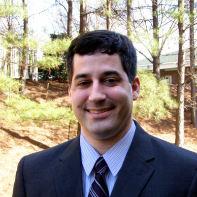
Richard Hughes
GIS Application Developer 2
Pennsylvania, United States



Summary
👤
Senior🎓
Top SchoolRichard Hughes is a GIS application developer with 11 years of experience building practical geospatial tools that bridge field workflows and enterprise systems for clients in oil & gas, renewables, and aviation. He designs and ships end-to-end solutions—native mobile apps in .NET MAUI/Xamarin, Python/Django server APIs, SQL Server/SDE deployments, and custom JavaScript widgets—that integrate with Esri technology to streamline data collection, QA/QC, and cartographic output. His work includes offline-capable mobile forms synchronized to AWS-hosted SQL Server, automated photo-log and PDF generation using the ArcGIS Python API, and tooling that automates project schema and web map templating for rapid Field Maps deployment. Comfortable across desktop, mobile, and web stacks, he pairs domain knowledge in cartography and applied earth science with pragmatic scripting to reduce manual GIS workflows. Based in Pennsylvania, he brings a blend of hands-on development and industry-focused productization that often hides a strong emphasis on automation and reproducible GIS deployments.
 11 years of coding experience
 B.A. Geology, GIS, B.A. Geology, GIS at Georgia Southern UniversityB.S. in Applied Earth Science, Cartography, GIS, B.S. in Applied Earth Science, Cartography, GIS at Oregon State University
 python, javascript, typescript, c#
Github Skills (27)
javascript10
web-components10
arcgis10
web-development10
arcgis-js-api10
dojo9
dstore8
editing5
esri5
yeoman-generator5
mobile4
3d3
tiling3
proxy3
java2
Programming languages (3)
Github contributions (5)
rhughes257/rtaa_gis_production
Apr 2017 - Sep 2018
Contributions:82 pushes, 1 branch in 1 year 5 months
Ricardh522/WAB-CODE
Mar 2016 - Sep 2018
Contributions:32 PRs, 321 pushes, 12 branches in 2 years 5 months
Find and Hire Top DevelopersWe’ve analyzed the programming source code of over 60 million software developers on GitHub and scored them by 50,000 skills. Sign-up on Prog,AI to search for software developers.