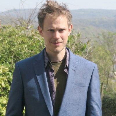
Robin Lovelace
Professor at University of Leeds
Greater Leeds Area United Kingdom



Summary
🤩
RockstarRobin Lovelace is a Professor of Transport Data Science at the University of Leeds with 13 years of experience building open-source tools and data-driven solutions to improve mobility and sustainability. He leads development of influential projects such as the Department for Transport’s Propensity to Cycle Tool and contributes to widely used spatial data packages like sf and the geocomputation book geocompr. Robin blends academic research, teaching, and hands-on engineering—teaching a Transport Data Science module while developing reproducible R workflows, mapping tutorials, and animated spatial visualizations. He has led data teams in government (Active Travel England) and published practical code for reproducible spatial analysis, demonstrating both policy-facing impact and deep technical craftsmanship. Colleagues value his ability to turn complex GIS and big data problems into accessible tools and guides that help planners, researchers and the public make better decisions. An unassuming innovator, he often surfaces subtle reproducibility and documentation improvements that multiply the impact of open-source spatial software.
 13 years of coding experience
 11 years of employment as a software developer
Stackoverflow
4,917reputation
372kreached
14answers
52questions

Github Skills (22)
data-visualizations10
sfx10
r-package10
r10
data-visualisation10
spatial-data10
data-visualization10
sfc10
ggplot10
spatial-data-analysis9
bookdown9
geospatial-analysis9
documentation9
rmarkdown9
geos8
Programming languages (32)
Github contributions (5)
geocompx/geocompr
Mar 2017 - Jan 2023
Geocomputation with R: an open source book
Role in this project: Data Scientist
Data ScientistContributions:12 releases, 300 reviews, 3579 commits in 5 years 10 months
Contributions summary:Robin's primary contribution involved adding code to generate citations for R packages and bibliography entries for a book project. They also created and modified R scripts to generate a Venn diagram using the `sf` package and added comments, demonstrating the ability to create and document visualizations. The user was also involved in updating the project's documentation and build script, focusing on the project's overall structure and reproducibility.
geospatialgeocomputationgeorasterrspatial
r-spatial/sf
Sep 2016 - Aug 2022
Simple Features for R
Role in this project:Backend Developer
Backend DeveloperContributions:3 reviews, 82 commits, 30 PRs in 6 years
Contributions summary:Robin primarily contributed to the `sf` R package by modifying existing functions and adding examples to improve documentation and usability. They addressed specific issues by refining messages, adding illustrative code examples, and clarifying function arguments. The user demonstrated expertise in the package's internal workings, addressing areas like spatial data manipulation and writing spatial data.
rspatialgdalgeosproj
Find and Hire Top DevelopersWe’ve analyzed the programming source code of over 60 million software developers on GitHub and scored them by 50,000 skills. Sign-up on Prog,AI to search for software developers.