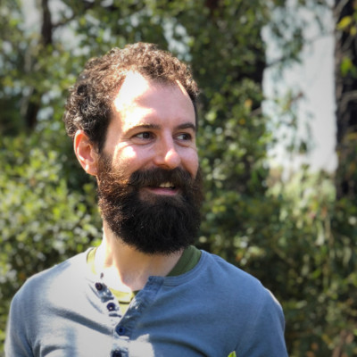
Samuel Estabrook
Senior Geospatial Engineer
Denver, Colorado, United States



Summary
👤
Senior🎓
Top SchoolSamuel Estabrook is a Senior Geospatial Engineer in Denver with 12 years of experience building production-grade spatial data systems, from QGIS plugins and ArcGIS Enterprise deployments to satellite imagery ETL pipelines and PostGIS-backed analytics. He combines deep domain expertise in open-source GIS and the Esri suite with hands-on cloud infrastructure skills (AWS Airflow, Secrets Manager, VPC security, Azure Data Factory/Databricks) to deliver reproducible, secure geoprocessing for customers and ML models. A proven mentor and team builder, he has led mapping teams at scale, created QA/QC workflows for ML-assisted vector data, and translated technical results into customer-facing reports. Notably comfortable bridging research-grade geospatial methods and operational engineering, he pairs a Master’s in Geography & Cartography with practical experience optimizing spatial databases and custom applications for production.
 11 years of coding experience
 3 years of employment as a software developer
 Master’s Degree Geographic Information for Environmental Planning Support, Master’s Degree Geographic Information for Environmental Planning Support at Università degli Studi di CagliariMaster of Science in Geography and Cartography GIS, Master of Science in Geography and Cartography GIS at George Mason UniversityBA Environmental Science, BA Environmental Science at Boston University
 Italian
Stackoverflow
1reputation
0reached
0answers
0questions

Github Skills (7)
partitions9
repair8
earthquake8
validation5
openstreetmap5
react2
scrolling2
Programming languages (2)
Github contributions (5)
AmericanRedCross/simplegadm
Jun 2014 - Jun 2015
Contributions:14 commits, 1 push in 1 year
AmericanRedCross/HAP-map-story
Dec 2014 - Dec 2014
Contributions:14 commits in 18 days
reactmappicturesscrolling
Find and Hire Top DevelopersWe’ve analyzed the programming source code of over 60 million software developers on GitHub and scored them by 50,000 skills. Sign-up on Prog,AI to search for software developers.