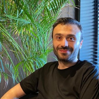
Serhat Yilmazturk
Data Engineer
Istanbul, Istanbul, Turkey



Summary
👤
Senior🎓
Top SchoolSerhat Yilmazturk is a data engineer with a decade of hands-on experience blending geomatics research and production data engineering, holding an MSc in Geomatics and a BSc in Geological Engineering. He builds end-to-end data pipelines using Python (Pandas, NumPy, scikit-learn), PySpark, SQL and ETL tooling, and is proficient in spatial querying, Apache Solr, and ESRI desktop/pro components. His toolkit includes web scraping and automation (Scrapy, Selenium) and web development with Django/Flask, enabling rapid prototyping of geospatial analytics and services. An author on multiple academic proceedings—covering topics from TSP routing in GIS to InSAR deformation monitoring—he applies scientific methods to practical engineering problems. Based in Istanbul, he combines domain expertise in geospatial systems with production-grade data infrastructure skills, and maintains an active GitHub showcasing his applied research and tooling.
 10 years of coding experience
 Bachelor of Science (BSc), Geological Engineering, 2.7 / 4, Bachelor of Science (BSc), Geological Engineering, 2.7 / 4 at Istanbul UniversityMaster of Science (MSc), Geomatics Engineering, 3.67 / 4, Master of Science (MSc), Geomatics Engineering, 3.67 / 4 at Istanbul Technical University
Programming languages (1)
Github contributions (5)

syilmazturk/SLDExporter
Sep 2016 - Nov 2016
Contributions:20 commits, 19 pushes, 1 branch in 1 month
syilmazturk/TRIO
Aug 2017 - Oct 2017
Contributions:11 pushes, 1 branch in 2 months
Find and Hire Top DevelopersWe’ve analyzed the programming source code of over 60 million software developers on GitHub and scored them by 50,000 skills. Sign-up on Prog,AI to search for software developers.