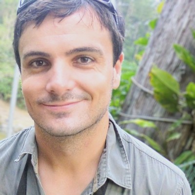
Stewart Pittard
Senior GIS Cartographer Developer at Northern Land Council
Greater Darwin Area Australia



Summary
👤
Senior🎓
Top SchoolStewart Pittard is a Senior GIS Cartographer Developer with over a decade of applied experience building geospatial solutions for land management and research organisations across Australia. He combines deep cartographic and spatial database expertise with strong statistical and field-research skills, honed during a PhD in Wildlife, Fish and Wildlands Science and roles at the Northern Land Council and Charles Darwin University. Stewart designs and delivers practical geospatial workflows that support natural resource management, monitoring and conservation advocacy, bridging technical implementation and ecological insight. His background in tertiary teaching and project management strengthens his ability to translate complex analyses into clear reports and operational guidance for stakeholders. Beyond GIS, he explores data science, bioinformatics and HPC approaches—bringing computational rigor to ecological questions and occasional music analytics experimentation. Based in Greater Darwin, he uniquely blends on-the-ground field experience with advanced spatial analytics to inform evidence-based conservation decisions.
 11 years of coding experience
 9 years of employment as a software developer
 Bachelor’s Degree, Environmental Science (Honours), 1st Class, Bachelor’s Degree, Environmental Science (Honours), 1st Class at University of CanberraDoctor of Philosophy (Ph.D.), Wildlife, Fish and Wildlands Science and Management, Doctor of Philosophy (Ph.D.), Wildlife, Fish and Wildlands Science and Management at Charles Darwin University
Github Skills (8)
bag8
bios6
bioconductor6
taxonomy5
bioinformatics5
microbiome5
metagenomics4
inference2
Programming languages (2)
Github contributions (5)
steviep42/bios_534
Jan 2022 - Jan 2023
Contributions:31 commits, 80 pushes, 32 branches in 1 year
steviep42/BrownBag
Sep 2014 - Mar 2020
Contributions:34 commits, 8 pushes, 1 issue in 5 years 6 months
bagbiosbrown
Find and Hire Top DevelopersWe’ve analyzed the programming source code of over 60 million software developers on GitHub and scored them by 50,000 skills. Sign-up on Prog,AI to search for software developers.