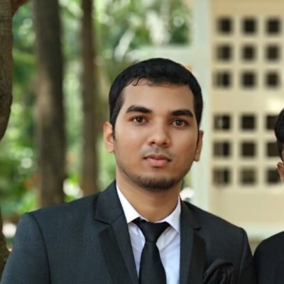
Sumant Tyagi
Product Engineer - Data Science In R&D
New Delhi, Delhi, India



Summary
🤩
Rockstar🎓
Top SchoolSumant Tyagi is a Product Engineer in GeoAI with six years of experience, currently advancing data science R&D at Esri from New Delhi. He applies deep learning and foundational models to spatial problems—detection, segmentation, and classification—across satellite, drone, camera-trap, aerial and oriented imagery using RGB, multi-band data and NeRFs for richer 3D representations. With an MTech in Geoinformatics from IIT Bombay and a BE in Civil Engineering, he blends rigorous academic grounding with practical experience in valuation and field monitoring earlier in his career. Sumant is exploring LLMs to automate geospatial feature extraction and interpretation, bringing research-forward methods into product-ready workflows. Notably, he bridges tabular and image modalities in spatial AI, focusing on scalable, real-world solutions for both tiny and large feature detection.
 6 years of coding experience
 Bachelor of Engineering - BE, Civil Engineering, 8.80, Bachelor of Engineering - BE, Civil Engineering, 8.80 at R. V. College of Engineering, BangaloreIndian Institute of Technology BombayHSC and SSLC, HSC and SSLC at Central Board of Secondary Education
 Hindi, English
Stackoverflow
1reputation
0reached
0answers
0questions

Github Skills (82)
python10
arcgis10
ipywidgets10
api10
jupyter10
spatial-data10
densenet10
esri10
spatial-data-analysis10
jupyterlab-extension10
gis10
binder10
keras-models9
yolov59
confirmation9
Programming languages (4)
Github contributions (5)
sumanttyagi/arcgis-python-api
Dec 2021 - Jan 2023
Documentation and samples for ArcGIS API for Python
Contributions:8 pushes, 2 branches in 1 year 1 month
apipythonarcgisarcgis-api
sumanttyagi/html-trial
May 2020 - May 2020
Contributions:1 push, 2 branches in 1 day
Find and Hire Top DevelopersWe’ve analyzed the programming source code of over 60 million software developers on GitHub and scored them by 50,000 skills. Sign-up on Prog,AI to search for software developers.