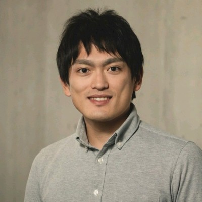
Takahiro Miki
リサーチ科学者 at Google DeepMind
United States



Summary
🤩
Rockstar🎓
Top SchoolTakahiro Miki is a research scientist at Google DeepMind with a decade of experience building perception and mapping systems for mobile and legged robots. He completed a PhD at ETH Zürich in mechatronics, robotics, and automation after earning engineering degrees from the University of Tokyo, blending rigorous academic research with applied system development. His open-source contributions to robotics projects—such as implementing signed distance field computation for ANYbotics' grid_map and GPU-accelerated elevation mapping—demonstrate deep expertise in sensor processing, raytracing, and high-performance mapping. He has hands-on experience translating sensor models and real-world constraints into robust software, gained through roles at Boston Dynamics AI Institute and industry research labs. Colleagues know him for clean refactors that improve performance and maintainability, including adding drift compensation and normal calculations to GPU pipelines. He brings a rare combination of theoretical rigor and pragmatic engineering that powers reliable terrain-aware navigation systems.
 10 years of coding experience
 1 year of employment as a software developer
 Master of Engineering - MEng, Aeronautics and astronautics, Master of Engineering - MEng, Aeronautics and astronautics at 東京大学Doctor of Philosophy - PhD, Mechatronics, Robotics, and Automation Engineering, Doctor of Philosophy - PhD, Mechatronics, Robotics, and Automation Engineering at ETH Zürich
Github Skills (22)
algorithm10
pcl10
algorithms10
robotics10
c-language10
python10
gpu-programming10
point-cloud-library10
data-structure10
refactor10
mappings10
eigen10
cupy10
data-structures10
refactoring10
Programming languages (5)
Github contributions (5)
leggedrobotics/elevation_mapping_cupy
May 2019 - Dec 2022
Elevation Mapping on GPU.
Role in this project: Back-end Developer
Back-end DeveloperContributions:1 release, 22 reviews, 245 commits in 3 years 7 months
Contributions summary:Takahiro's commits primarily focus on cleaning and improving the code within the `elevation_mapping_cupy` repository, which is an elevation mapping implementation on the GPU. This involves modifying the core `elevation_mapping.py` and node related files. The contributions demonstrate the user's ability to refactor code, adding features such as normal vector calculations and a drift compensation. The changes include improvements in functionality, performance improvements, and parameterization.
gpumappingelevationoccupancy-grid-mapdepth-camera
ANYbotics/elevation_mapping
Jun 2017 - Apr 2019
Robot-centric elevation mapping for rough terrain navigation
Role in this project:Back-end Developer
Back-end DeveloperContributions:33 commits, 3 PRs, 20 pushes in 1 year 10 months
Contributions summary:Takahiro primarily contributed to the sensor processing and elevation mapping functionalities within the repository. They refactored and adapted sensor models, specifically modifying the Kinect model to use structured light. The user also added and improved the time layer to the elevation map, implemented penetration removal and skipping lower points, and improved the raytracing calculations. These changes enhance the accuracy and efficiency of the elevation mapping system for terrain navigation.
navigationroboticspythonrobotmapping
Find and Hire Top DevelopersWe’ve analyzed the programming source code of over 60 million software developers on GitHub and scored them by 50,000 skills. Sign-up on Prog,AI to search for software developers.