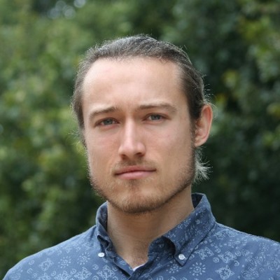
Taylor Smith
Research Scientist at University of Potsdam
Berlin, Germany



Summary
👤
Senior🎓
Top SchoolTaylor Smith is a research scientist based in Berlin with a decade of experience applying Python and large-scale geospatial methods to remote sensing problems in water resources, erosion, climate extremes, and land management. At Universität Potsdam since 2018 (following a PhD in remote sensing there), Taylor develops scalable workflows for big geospatial datasets, spatial statistics, and time-series machine learning. Their work bridges rigorous academic research and practical applications, from field-focused erosion studies to regional hydrology and climate-extreme mapping. Comfortable as an independent consultant and educator earlier in their career, they combine strong technical implementation skills with clear scientific communication. Taylor’s public portfolio highlights reproducible code and tools for processing large satellite archives, reflecting a commitment to open, scalable science. Colleagues describe them as a pragmatic problem-solver who turns complex earth-science questions into operational data products.
 10 years of coding experience
 Doctor of Philosophy (Ph.D.), Doctor of Philosophy (Ph.D.) at Universität PotsdamGeology, Geology at Middlebury CollegeMaster's degree, Master's degree at UC Santa Barbara
 English, French, Spanish, German, Swedish
Github Skills (36)
snow10
gps10
reflections10
noaa9
truncation9
speedometer8
geoscience7
kml7
altitude7
python-interface7
elevation7
python7
gpx7
earth-science7
geophysics7
Programming languages (4)
Github contributions (5)
tasmi/earthengine_code_snippets
Jul 2020 - Sep 2022
Contributions:43 commits, 42 pushes, 1 branch in 2 years 2 months
tasmi/tasmi.github.io
Sep 2019 - Feb 2023
Contributions:124 commits, 144 pushes, 1 branch in 3 years 5 months
Find and Hire Top DevelopersWe’ve analyzed the programming source code of over 60 million software developers on GitHub and scored them by 50,000 skills. Sign-up on Prog,AI to search for software developers.