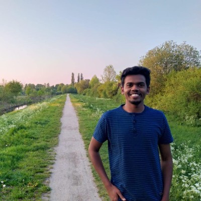
Venkanna Guthula
PHD Fellow at Department of Computer Science, University of Copenhagen - DIKU
Copenhagen, Capital Region of Denmark



Summary
👤
Senior🎓
Top SchoolVenkanna Guthula is a PhD fellow at the University of Copenhagen specializing in machine learning for Earth observation, bringing nine years of experience building geospatial and remote sensing solutions. He has applied deep learning and image-processing pipelines to real-world problems—from animal detection and corridor mapping at the Wildlife Institute of India to production EO analytics at Cropin—bridging research rigor with operational impact. His background includes hands-on OpenStreetMap field mapping and validation at Mapbox, which informs his practical approach to data quality and large-scale geodata workflows. Based in Copenhagen, he combines advanced academic training in geoinformatics with pragmatic software and Python engineering skills, and often works at the intersection of satellite imagery, ML models, and cloud-scale EO platforms. Notably, he pairs field-level mapping experience with algorithmic expertise, enabling solutions that align in-situ reality with remote sensing inference.
 8 years of coding experience
 2 years of employment as a software developer
 Bachelor's degree, Geo-Informatics, Bachelor's degree, Geo-Informatics at Andhra UniversityMaster's degree, Geoinformation Science and Earth Observation with Specialisation in Geoinformatics, Master's degree, Geoinformation Science and Earth Observation with Specialisation in Geoinformatics at Indian Institute of Remote Sensing (IIRS), Indian Space Research Organization (ISRO)Master's degree, Geo-information Science and Earth Observation with Specialisation in Geoinformatics, Master's degree, Geo-information Science and Earth Observation with Specialisation in Geoinformatics at Faculty of Geo-Information Science and Earth Observation (ITC) of the University of TwenteDoctor of Philosophy - PhD, Computer Science, Doctor of Philosophy - PhD, Computer Science at University of Copenhagen (Københavns Universitet)Diploma, Civil Engineering, Diploma, Civil Engineering at S.M.V.M Polytechnic
 English, Telugu, Hindi
Stackoverflow
1reputation
0reached
0answers
0questions

Github Skills (84)
msc-project10
imagery10
yolov810
object-detection10
computer-vision10
cli10
semantic-segmentation10
image-classification10
keras10
pose-estimation10
arcgis9
yolov59
ecology9
hub9
python9
Programming languages (4)
Github contributions (5)
venkanna37/Label-Pixels
May 2020 - Nov 2022
Label-Pixels is a tool for semantic segmentation of remote sensing images using fully convolutional networks (FCNs), designed for extracting the road network from remote sensing imagery and it can be used in other applications applications to label every pixel in the image ( Semantic segmentation).
Contributions:89 commits, 16 PRs, 87 pushes in 2 years 6 months
road-networksemantic-segmentationremote-sensingtensorflowmsc-project
venkanna37/Turf.js-Examples
Mar 2018 - Jul 2018
Contributions:30 commits, 25 pushes, 1 branch in 4 months
Find and Hire Top DevelopersWe’ve analyzed the programming source code of over 60 million software developers on GitHub and scored them by 50,000 skills. Sign-up on Prog,AI to search for software developers.