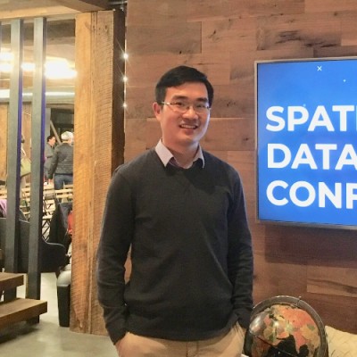
Xiaojiang Li
Assistant Professor at University of Pennsylvania
Philadelphia, Pennsylvania, United States



Summary
👤
Senior🎓
Top SchoolXiaojiang Li is an Assistant Professor of Urban Spatial Analytics at the University of Pennsylvania and co-founder of Biometeors, combining academic research with entrepreneurial application of geospatial science. With eight years of experience spanning MIT Senseable City Lab and Temple University, he pioneers the use of machine learning and street-level imagery (e.g., Google Street View) to quantify urban landscapes and microclimates. He led the Treepedia project and has secured funding from NSF, NASA, and Microsoft to study extreme heat impacts and heat vulnerability across neighborhoods and racial/ethnic groups. His work sits at the intersection of urban analytics, spatial data science, and environmental health, translating large-scale geospatial data into actionable planning insights. Trained with a PhD in GIScience and Urban Geography, he blends remote sensing, AI, and design to tackle socio-environmental challenges. Less obvious: he bridges methodological innovation and policy relevance by producing tools and maps that city planners and communities can directly use.
 8 years of coding experience
 8 years of employment as a software developer
 Master of Science (MS) Remote Sensing, Master of Science (MS) Remote Sensing at Institute of Remote Sensing and Digital Earth, Chinese Academy of SciencesDoctor of Philosophy (Ph.D.) GIScience and Urban Geography, Doctor of Philosophy (Ph.D.) GIScience and Urban Geography at University of ConnecticutBachelor’s Degree Environmental Science, Bachelor’s Degree Environmental Science at Henan University
 English, Chinese, Japanese
Stackoverflow
11reputation
184reached
1answer
1question

Github Skills (5)
javascript6
google-maps-api6
google-streetview6
python6
google-maps6
Programming languages (3)
Github contributions (5)
temple-geography/GUS-5073-Geovisualization
Jun 2019 - Oct 2022
Contributions:177 commits, 161 pushes, 1 branch in 3 years 4 months
temple-geography/fundamentals-arcgis-pro
Aug 2020 - Jan 2021
Contributions:14 commits, 13 pushes, 1 branch in 4 months
Find and Hire Top DevelopersWe’ve analyzed the programming source code of over 60 million software developers on GitHub and scored them by 50,000 skills. Sign-up on Prog,AI to search for software developers.